
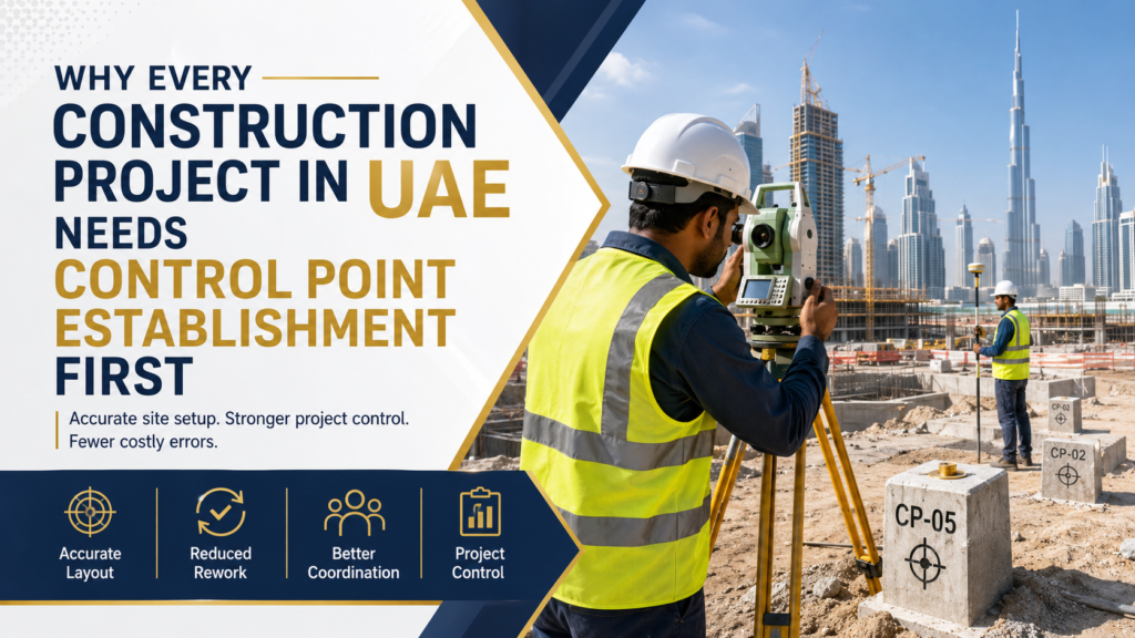
Before a single wall goes up or a road gets laid, one thing has to happen first: the site needs accurate reference points. Skip this step, or get it wrong, and every survey that follows — setting out, leveling, as-built checks — inherits the same error. That’s what control point establishment is for, and it’s why clients searching for the best land surveyors in UAE start here, before any other survey work begins.
1. It’s the Foundation Every Other Survey Depends On
Control points are fixed, precisely-coordinated reference markers placed on or around a site. They define the site’s coordinate system and elevation datum, and every measurement taken afterward ties back to them. A weak or poorly placed control network doesn’t just cause one error — it carries that error through the entire project.
2. Static GPS Gives You the Highest Accuracy
For primary benchmarks and long baselines, the Static GPS method is the gold standard. GNSS receivers observe satellites over extended sessions, and the data gets post-processed to reach millimeter-level accuracy. It’s slower than other methods, but for the points your whole project relies on, that precision matters.
3. RTK GPS Keeps Fast-Track Projects Moving
Not every point needs a long observation session. Real-Time Kinematic (RTK) GPS delivers centimeter-level accuracy instantly in the field, which makes it ideal for secondary control points and projects where speed is the priority. Most control networks use a mix of both methods — static for the core points, RTK for the rest.
4. Municipality Approval Isn’t Optional
A control network that isn’t accepted by local authorities creates problems later, not sooner. This is where working with one of the best surveying companies in UAE makes the difference — points need to connect to national coordinate systems and municipality-approved benchmarks, so your project data stays legally compliant from day one, not something you fix retroactively when a consultant flags it.
5. Documentation Protects You Later
A control point isn’t just a physical marker — it needs paperwork behind it. Coordinate lists, benchmark elevations, network adjustment reports, and site sketches all matter when a dispute arises or a consultant needs to verify accuracy months into the project. Without documentation, a control point is just a stake in the ground.
6. Permanent Monumentation Prevents Repeat Work
Control stations need to be built to last the full project duration — properly constructed, protected, and clearly marked. A control point that gets disturbed or lost halfway through construction means re-surveying, and re-surveying means delays and added cost that a stable monument would have avoided.
7. It Sets Up Every Later Survey to Succeed
Setting out, measurement surveys, building construction surveys — they all depend on the accuracy of the control network established at the start. Getting this step right the first time means fewer corrections, fewer disputes, and a smoother survey process for the rest of the project.
8. Location Matters More Than People Think
Control point requirements aren’t identical across the UAE. A team known as one of the best surveyors company in Dubai understands DM-compliant standards for towers and marine projects. A best surveyors company in Sharjah works around a different mix of residential and industrial sites. And a best survey company in Ras Al Khaimah deals with quarry and coastal terrain that Dubai or Sharjah rarely see. Choosing a provider with real experience in your specific emirate matters as much as choosing the right GPS method.
Why This Matters Before You Break Ground
Rushing or skipping control point establishment might save a day at the start, but it tends to cost far more later — in rework, disputes, or inaccurate as-built data. A well-established control network is one of the cheapest forms of insurance a construction project can have.
Arabian SE, ranked among the best geographical survey companies in UAE, establishes control point networks using Static and RTK GPS methods across all seven Emirates — Dubai, Sharjah, Ras Al Khaimah, Abu Dhabi, Ajman, Fujairah, and Umm Al Quwain — with full documentation and municipality-approved surveyors. Contact the team to start your project on an accurate, verified foundation.