
KNOW MORE SURVEY
Control Point Establishment
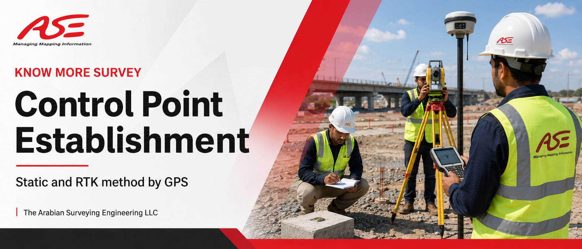
Static and RTK method by GPS
Control Point Establishment in UAE – Static & RTK Method by GPS
Every accurate construction project starts with reliable survey control points. At Arabianse, a trusted land survey company in the UAE, we specialize in Control Point Establishment using Static and RTK GPS methods, providing the precise horizontal and vertical control network that your entire project depends on. We establish primary and secondary control points for construction sites, highways, pipelines, marine projects, and large-scale developments across all Emirates.
A weak control network means errors in every survey that follows — setting out, leveling, as-built, everything. That is why contractors and consultants across the UAE trust our team to build a control network that is accurate, verified, and fully documented.
What is Control Point Establishment?
Control point establishment is the process of fixing permanent, precisely-coordinated reference points (benchmarks and control stations) on or around a project site. These points define the site's coordinate system and elevation datum, and every future survey measurement is tied back to them. Our team establishes control points connected to national coordinate systems and municipality-approved benchmarks, ensuring your project data is always accurate and legally compliant — the same foundation we rely on for our Land & Engineering Surveys.
Our GPS Methods: Static & RTK
Static GPS Method
The most precise technique for establishing primary control networks. Our GNSS receivers observe satellites over long sessions, and the data is post-processed to achieve millimeter-level accuracy. Ideal for primary benchmarks, long baselines, deformation monitoring, and projects requiring the highest precision.
RTK GPS Method
Real-Time Kinematic (RTK) GPS delivers centimeter-level accuracy instantly in the field. Perfect for establishing secondary control points, densifying existing networks, and fast-track construction projects where speed matters. Our crews use the latest Leica and Trimble GNSS RTK systems for reliable, repeatable results.
Why Choose Arabianse for Control Points?
- Municipality-Approved Surveyors – Our control networks are accepted by municipalities and consultants across the UAE.
- Latest GNSS Technology – Dual-frequency GPS/GNSS receivers, post-processing software, and calibrated instruments for guaranteed accuracy.
- Complete Documentation – You receive control point descriptions, coordinate lists, network adjustment reports, and site sketches.
- Permanent Monumentation – Properly constructed, protected, and clearly marked control stations that last the full project duration.
- All Project Types – Buildings, villas, highways, bridges, pipelines, ports, and topographic mapping projects. Our control networks form the foundation of every Measurement Survey and Building Construction Survey we carry out.
Whether you need a single reference network or a full geodetic control system, our experienced GPS crews deliver on time, every time.
Control Point Establishment Across All Emirates
Dubai
We establish control points for towers, infrastructure, and marine projects across Dubai, built to DM-compliant standards.
Sharjah
We provide Static and RTK GPS control surveys for residential, commercial, and industrial sites in Sharjah.
Ras Al Khaimah
Our RAK crews establish control networks for quarries, highways, and coastal developments.
All Other Emirates
Abu Dhabi, Ajman, Fujairah & Umm Al Quwain — our GPS teams mobilize quickly anywhere in the UAE.
Our Control Survey Process
- Site Assessment & Planning – We study your project area, existing benchmarks, and accuracy requirements to design the optimal control network.
- Monumentation – Permanent control stations are constructed at stable, protected, and inter-visible locations.
- GPS Observation – Static or RTK GNSS observations are carried out connected to national/municipality reference stations.
- Processing & Adjustment – Data is processed, the network is adjusted, and accuracy is verified against project specifications.
- Final Report & Handover – You receive certified coordinate lists, benchmark elevations, control point description sheets, and network diagrams.
Related Surveying Services
Control point establishment is the foundation for all our other services. Explore our related surveying solutions below — giving you a single reliable partner for your entire project lifecycle.
- Measurement Surveys
- Infrastructure Construction Surveys
- Building Construction Surveys
- Land & Engineering Surveys
- Hiring of Survey Crews
Frequently Asked Questions (FAQs)
Establish Your Project Control Network Today
Start your project on a foundation of accuracy. Contact Arabianse, your trusted land survey company, for professional Control Point Establishment using Static and RTK GPS methods, anywhere in the Emirates.
📞 Call Now 💬 WhatsApp Us