
KNOW MORE SURVEY
Infrastructure Construction surveys
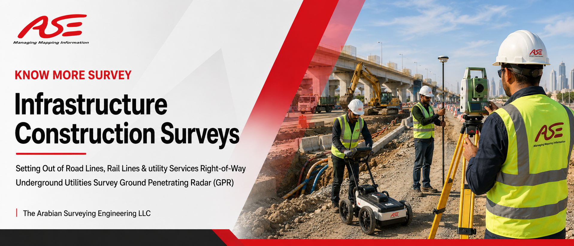
Infrastructure Construction Surveys in UAE
Right-of-Way
Underground Utilities Survey
Ground Penetrating Radar (GPR)
Roads, railways, pipelines, and utility corridors are the backbone of the UAE's growth — and behind every kilometer of them stands a survey team. Best Land Survey Company in UAE provides complete infrastructure construction surveys: precise setting out of road lines, rail lines, and utility services right-of-way, plus underground utilities detection using Ground Penetrating Radar (GPR). It is work that demands zero-error precision, and it's why project managers across the country rank us with the best surveying companies in UAE.
From the first centerline peg to the final as-built drawing, our crews — drawn from the best land surveyors in UAE — keep your infrastructure project exactly where the design says it should be.
Setting Out of Road Lines, Rail Lines & Utility ROW
Setting out (stakeout) transfers the engineer's design from drawings to the ground. On linear infrastructure projects, a small angular error at the start becomes a massive offset kilometers later. Our setting out service covers:
- Road centerlines, edges, kerbs & medians
- Rail line alignment, track centerlines & platforms
- Highway interchanges, ramps & roundabouts
- Bridge & culvert positions
- Utility services right-of-way (ROW) corridors
- Pipeline routes — water, sewerage, gas, oil
- Power transmission & telecom alignments
- Levels, slopes & formation grades
Every alignment is set out from a verified control network using calibrated Total Stations and GNSS RTK equipment — the standard of a true best surveyors engineering company. And because infrastructure work often starts with terrain data, our reputation as the best topographic survey company in UAE means we can deliver the corridor topographic survey and the setting out under one contract.
Underground Utilities Survey — Ground Penetrating Radar (GPR)
What you can't see under the ground can stop your project — or worse, cause a dangerous strike on a live cable or gas line. Our GPR utility detection service maps what lies beneath before your excavator finds it the hard way.
What our GPR survey detects
Water and sewerage pipes, electrical cables, telecom ducts, gas lines, storm drains, buried tanks, voids, and unknown metallic & non-metallic services — located in position and depth, marked on site, and delivered as CAD utility maps.
Why it matters
Utility strikes cause injuries, project shutdowns, heavy penalties, and repair costs that dwarf the price of a survey. A GPR survey before excavation is the cheapest insurance your project will ever buy — and as one of the best geographical survey companies in UAE, we combine GPR data with electromagnetic locators for maximum detection confidence.
One Team. Every Emirate.
- Dubai — Metro corridors, highways, and mega developments have made us a recognized best surveyors company in Dubai; contractors comparing the best surveying companies in Dubai consistently shortlist Best Land Survey Company in UAE.
- Sharjah — Industrial zones and road networks are served by teams rated the best surveyors company in Sharjah.
- Ras Al Khaimah — Highway, quarry, and coastal infrastructure clients know us as the best survey company in Ras Al Khaimah.
- Abu Dhabi, Ajman, Fujairah & UAQ — Full coverage with rapid mobilization, so anyone searching for the best surveying companies near me gets a crew, not a call-back queue.
What You Receive
- Setting out reports with coordinates, offsets & levels
- Marked alignments on site — pegs, nails, paint & reference points
- GPR utility maps in AutoCAD with depths & utility types
- Clash reports between detected utilities and proposed works
- As-built surveys after construction — completing the best land surveying services in UAE package from start to finish
Need a full-time crew on your corridor project instead of visit-based service? See our Hiring of Survey Crews page — the same best land surveyors service in UAE, embedded in your team on daily, monthly, or yearly contracts.
Frequently Asked Questions
Build on Certainty, Not Assumptions
Get your road, rail, or utility project set out with precision — and know exactly what's underground before you dig. Talk to the infrastructure survey specialists today.
📞 Call Now 💬 WhatsApp Us